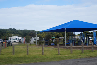
We decided to go to Cape Bridgewater which is down from Portland on the beach.
We left to travel the 115km around 10am with Robyn driving, Drew actually let me drive while he was watching the scenery which was lovely rolling green hills, then sheep & wheat low lands.
We travelled through Portland, the main street was closed due to a easter market day, on the skyline we could see the wind turbines dotting horizon, and the 40kms to Cape Bridgewater township then onto Cape Nelson with wind turbines everywhere. At Cape Nelson parked the 4x4 & followed the directions to the blow holes.
Drew walked the extra 500m x 2 to the "petrified forest" but Drew said it looked more like lava tubes. Take a look at the photos and see what you think. Petrified forest - the name comes from an early theory that avancing sand engulfed an ancient forest of coastal trees, petrifying them. The formation is actually a collection of hollow tubes of limestone called "solution pipes" eroded by millions of years of rainfall. The process starts when water gathers in a shallow pan of sand and seeps downwards disolving the limestone. The mneral staujrated water then cements the sand forming hard truck shaped pipes.
We finished and drove back through Cape
Bridgewater, small beach town. We travelled the road which we had already driven down.
Called into a historic inn to have lunch and it was called Yambuk Tavern cica 1850. It was rather small inside but looked great on the outside.


